RTK GPS (Real-Time Kinematic) is a satellite positioning technique that delivers 1-3 cm accuracy in open-sky conditions by actively correcting common errors in standard satellite navigation signals. For utility teams managing critical infrastructure, achieving this centimeter-level GPS accuracy field work is the defining difference between instantly locating a buried gas valve and executing a costly, dangerous blind excavation.
As power grids, water networks, and telecommunications lines become increasingly dense, relying on outdated utility asset location technology is a liability. Standard GPS can put a worker in the general vicinity of an asset, but only RTK GPS utility mapping provides the surgical precision required for modern GIS field data collection and underground infrastructure mapping.
How RTK GPS Help Utility Workers in Field Operations?
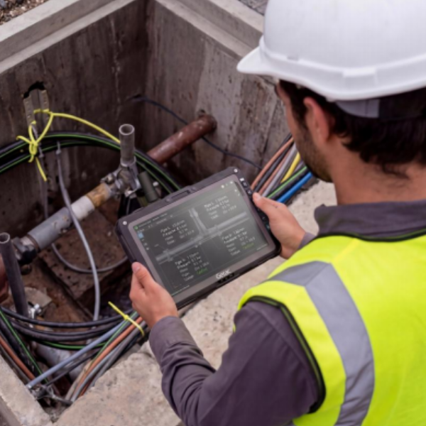
Standard GNSS receivers calculate position by measuring the travel time of signals from multiple satellites. Errors introduced by ionospheric delay, tropospheric delay, satellite clock drift, and orbital uncertainty accumulate to produce position estimates accurate to 3–5 metres under normal conditions. While this is accurate enough to track a vehicle on a map, it falls short for high-stakes utility work.
RTK GPS eliminates these errors in real time. A network of continuously operating reference stations (CORS) at known, precisely surveyed positions measures the same satellite signals simultaneously with the field receiver. The difference between the reference station’s calculated position and its known position, which is known as the differential correction, is transmitted to the field device over a cellular data connection via the NTRIP standard. The field receiver applies this correction in real time, producing position estimates accurate to 1-3 cm horizontally and 2-4 cm vertically which is a 100× improvement over autonomous GNSS.
The GNSS vs RTK Accuracy Comparison
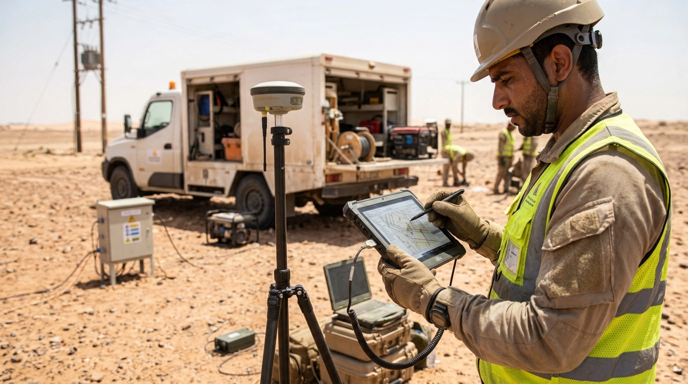
The decision between standard GNSS and RTK for utility field work ultimately comes down to the cost of a positioning error. Here is a breakdown of how this fundamental difference impacts utility field operations technology:
| Feature/Metric | Standard GNSS (GPS, GLONASS) | RTK GPS (Real-Time Kinematic) |
| Field Accuracy | 2 to 5 meters (6 to 16 feet) | 1 to 3 centimeters (under 1 inch) |
| Utility Use Case | General navigation to a work site, rough surveying, fleet tracking. | Precision underground infrastructure mapping, exact valve/pipe location, right-of-way auditing. |
| Correction Method | Uncorrected raw satellite data. | Real-time corrections via Base Station or Cellular NTRIP Caster. |
| Cost of Error | High: Risk of striking adjacent utility lines, wasted excavation labor, and inaccurate GIS records. | Low: Pinpoint excavation, right-first-time repairs, and highly reliable digital twin data. |
How RTK Integrates with Esri ArcGIS and GIS Coordinate Systems
Capturing centimeter-level data is only half the battle; integrating it seamlessly into enterprise databases is the ultimate goal of GIS field data collection. Fortunately, modern RTK receivers and rugged field devices are built to interface directly with industry-standard mapping software like Esri ArcGIS Field Maps. Here is how the integration workflow operates in the field:
NTRIP Connection: The field worker’s tablet connects to a cellular network and accesses an NTRIP caster. This streams real-time correction data from a local reference network to the RTK receiver.
NMEA Sentence Streaming: The RTK receiver processes the satellite data and the NTRIP corrections to calculate a sub-centimeter position. It then streams standard NMEA (National Marine Electronics Association) sentences via Bluetooth or USB directly to the tablet.
ArcGIS Location Provider Configuration: Inside Esri ArcGIS Field Maps, the RTK receiver is set as the primary “Location Provider.” The software overrides the tablet’s internal, lower-accuracy GPS and relies entirely on the RTK feed.
Coordinate System Transformation: Because RTK data is highly precise, ArcGIS applies real-time datum transformations to ensure the incoming coordinates perfectly align with the utility’s specific enterprise geodatabase coordinate system, eliminating projection shifts.
Also Read: Why Utility Field Workers Keep Revisiting the Same Sites (And How Precision Mapping Fixes It) (Add Link)
The Hardware: Getac UX10 and ZX10 for RTK Utility Field Work
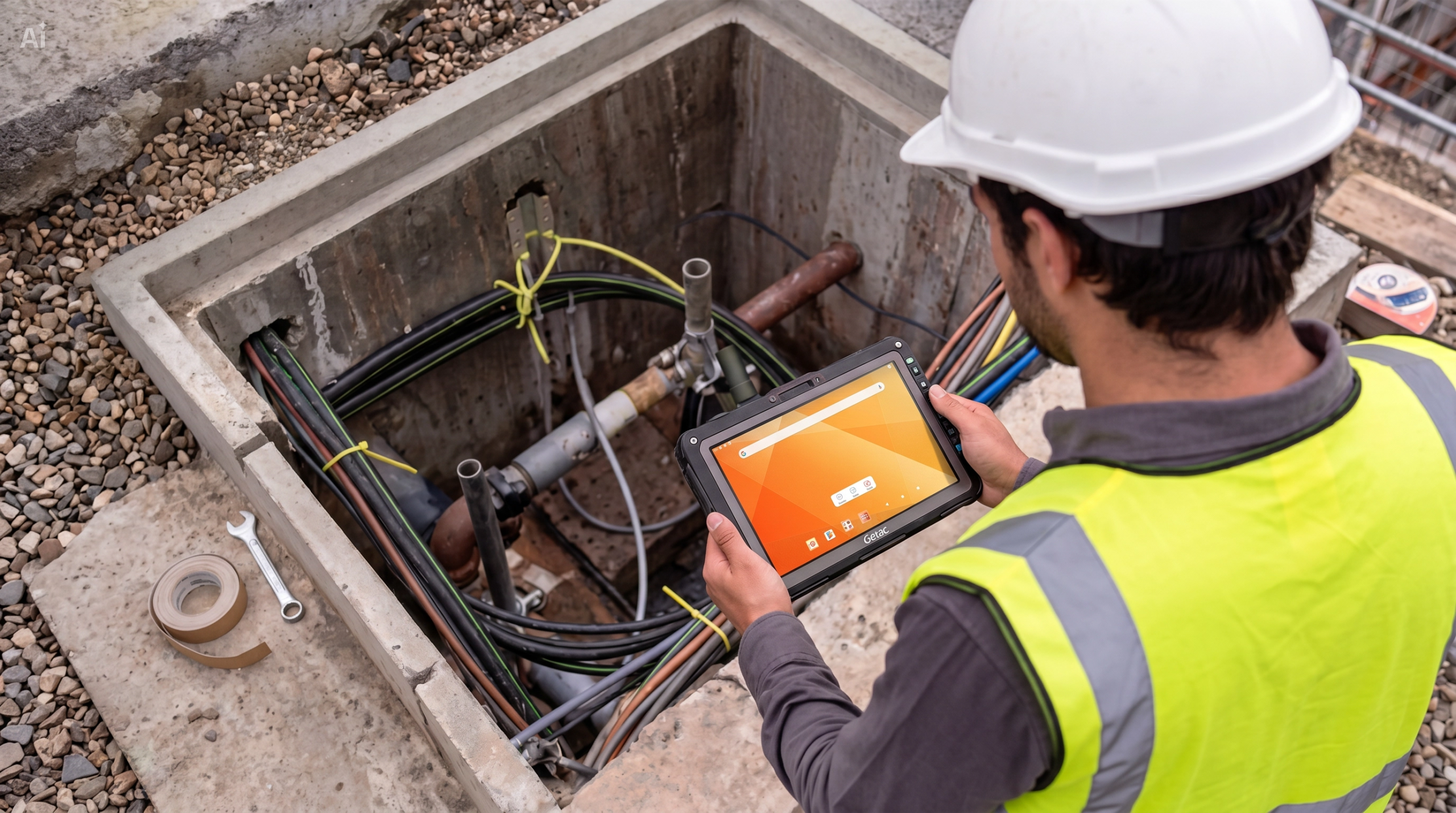
The Getac UX10 and ZX10 are purpose-built rugged tablets for field data collection in demanding outdoor environments. These devices are engineered specifically for extreme environments. Both feature MIL-STD-810H and IP66 certifications, surviving six-foot drops, driving rain, and the extreme heat of summer field work.
More importantly, they feature ultra-bright, 1000-nit LumiBond displays that remain perfectly readable in direct sunlight, and offer seamless Bluetooth/Wi-Fi/4G LTE connectivity to maintain the critical NTRIP cellular connection required for RTK corrections without dropping the signal.
Getac UX10 vs ZX10: Specification Comparison for Utility Field Work

| Specification | Getac UX10 | Getac ZX10 |
| Form factor | 10.1″ rugged tablet (detachable keyboard option) | 10.1″ rugged tablet |
| GNSS/RTK | GPS + GLONASS + BeiDou + Galileo; RTK-ready via external receiver | Integrated multi-constellation GNSS; RTK-capable with correction feed |
| Operating System | Windows (10/11) | Android |
| Operating temperature | -21°C to +60°C | -20°C to +60°C |
| Ingress protection | IP66 (dust-tight, waterjet-resistant) | IP66 + MIL-STD-810H |
| Drop resistance | 1.8 m drop-tested (MIL-STD-810H) | 1.8 m drop-tested (MIL-STD-810H) |
| Display | 10.1″, outdoor-readable 1000 nit sunlight-readable | 10.1″, 700 nit sunlight-readable |
| Barcode / RFID | Optional 1D/2D barcode scanner; RFID reader | Integrated barcode scanner; NFC/RFID |
| GIS integration | Esri ArcGIS Field Maps; TrimbleConnect; Collector | Esri ArcGIS Field Maps; Android GIS apps |
| Connectivity | LTE Cat12, Wi-Fi 6, Bluetooth 5.1, USB-C | LTE, Wi-Fi 5, Bluetooth 5.0, USB-C |
| Battery life | Up to 12 hours field use | Up to 10 hours field use |
Why Ruggedness Matters Beyond IP Ratings
Consumer tablets and standard enterprise tablets fail in utility field environments not primarily because of water ingress but because of drop events, sustained temperature operation, touchscreen failure from gloved hands, and display readability in direct UAE sunlight.
The Getac UX10’s 1000-nit display is readable in full UAE summer sun without a shade or tent. Its glove-friendly multi-touch screen accepts input from nitrile work gloves without requiring bare fingers. These are operational requirements for utility field crews, not specification box-ticking.
LTE Connectivity for NTRIP RTK Correction Delivery
RTK accuracy depends on a continuous cellular data connection to the correction network. Getac UX10 and ZX10’s LTE Cat12 connectivity supporting download speeds up to 600 Mbps provides a stable, low-latency connection to NTRIP casters for real-time correction delivery. The correction data stream itself consumes minimal bandwidth, meaning even marginal signal conditions are sufficient for RTK operation. Dual-SIM configurations allow switching between UAE carriers when primary coverage is unavailable at a specific site.
Sourcing Your Getac Solutions in the UAE and Wider GCC
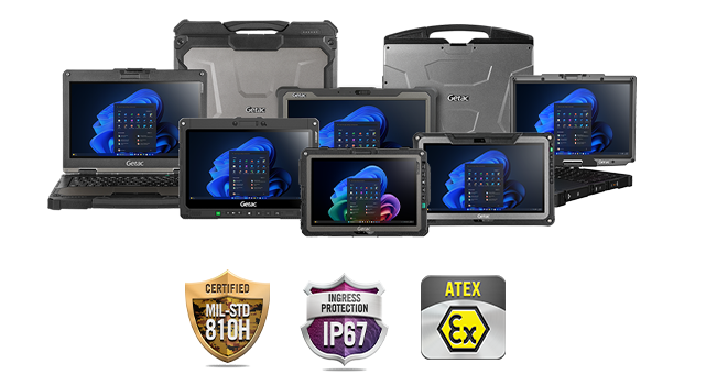
As an authorized Getac partner and premier systems engineering distributor in the GCC, Amplicon Middle East provides fully certified, customized hardware deployment options.
Contact Amplicon Middle East today to discuss your technical specifications, request a quote, or verify local inventory in Dubai.
FAQ: RTK GPS for Utility Workers
What accuracy does RTK achieve in the field?
RTK GPS (Real-Time Kinematic) consistently achieves 1 to 3 centimeters (sub-inch) of accuracy in open-sky conditions. By receiving continuous, real-time correction data from a base station or NTRIP network, it eliminates the atmospheric and multipath errors that typically degrade standard GPS signals.
What is the difference between GNSS and RTK for field operations?
Standard GNSS relies entirely on uncorrected satellite signals, resulting in location accuracy of 2 to 5 meters. RTK is an advanced technique applied to GNSS that uses a secondary reference station to calculate and broadcast error corrections instantly, improving field accuracy to mere centimeters.
How does RTK GPS improve utility mapping?
RTK GPS eliminates the guesswork in utility mapping. Instead of knowing a buried water main is somewhere within a 15-foot radius, crews can pinpoint the exact centimeter of the pipe. This prevents accidental utility strikes, speeds up excavation, and ensures enterprise GIS databases are perfectly accurate.
Can rugged tablets process RTK GPS data?
Yes, high-performance rugged tablets like the Getac UX10 and ZX10 easily process RTK GPS data. They connect to external RTK rovers via Bluetooth or USB, and use their integrated 4G LTE connections to access the NTRIP correction networks required for real-time centimeter accuracy.
Is RTK more accurate than GPS?
Standard GPS calculates position using only the signal travel time from satellites, which is prone to atmospheric delays and signal reflections. RTK uses a secondary, stationary base station at a known position to measure these errors and transmit real-time corrections directly to your roving receiver.
Does RTK work without the internet?
Yes, but it requires a localized setup. If cellular service drops, you cannot use an internet-based NTRIP network. Instead, you must set up your own physical RTK Base Station on a known, surveyed point nearby to transmit corrections directly to your roving receiver via UHF radio.