
Getac rugged tablets for utility field teams
Find buried assets to the centimetre, spot thermal faults on site and connect to legacy PLCs. Book a demo with our team serving the Middle East and GCC.
- ±2 cm RTK GPS that feeds straight into Esri ArcGIS
- Built-in FLIR thermal camera for cables, joints and leaks
- RS232 for PLCs, RTUs and switches, no adapters

Request a demo or quote
Short form, no obligation. Our team replies within 1 business day.
Three field problems, solved on one tablet

Find the right asset first time
Standard GPS misses by 3–10 m. RTK pinpoints underground electricity, gas and water lines to ±2 cm via NTRIP or base station.

See faults before they fail
Thermal-RGB view in the G-Thermo app shows overheating cables, faulty components and gas leaks without a separate camera.

Talk to legacy equipment
Screw-locked, EMI-resistant RS232 for commissioning, diagnostics and log retrieval on PLCs, RTUs and switches.
Choose your device
Eight MIL-STD-810H, sunlight-readable models. Request a demo of any unit.
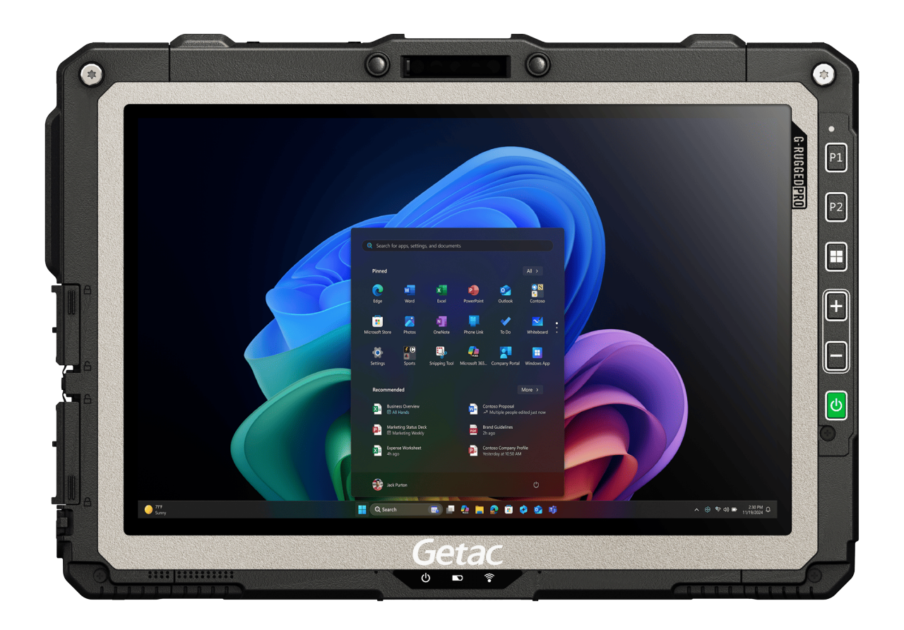
UX10
WINDOWSAll-round field tablet with every utility option.

F120
WINDOWSTablet-to-laptop for inspection and commissioning.

ZX10
ANDROIDLightest 10" rugged tablet for Android GIS crews.

G140
WINDOWSLarge screen for GIS mapping, hot-swap battery.
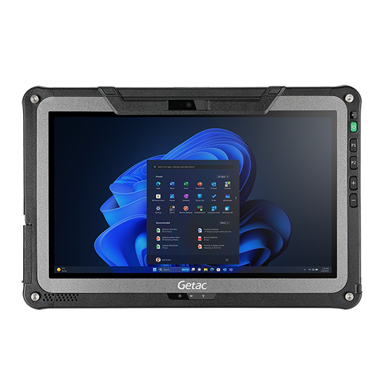
F110
WINDOWSFull office computing in a rugged tablet.

K120
WINDOWSHandle, backlit keyboard, vehicle dockable.

ZX80W
WINDOWSCompact, glove and wet-touch, full-shift battery.
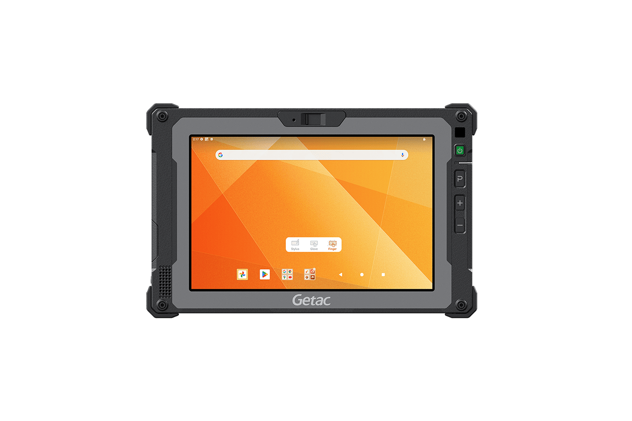
ZX80
ANDROIDHandheld analytics, facilities and drone piloting.
Not sure which one? Tell us your workflow in the form and we'll recommend a configuration.
Test it on your own site
Tell us your network type, field workflow and team size. We'll recommend a configuration and bring a demo unit.
- On-site demonstrations across the UAE and GCC
- RTK and Esri ArcGIS integration support
- Volume pricing and pre-sales engineering
Getac RTK GPS delivers 1–3 cm accuracy in open sky and 2–5 cm in typical field environments, compared with 3–10 m for standard GNSS. Multi-GNSS, multi-band reception keeps positioning reliable with signal interference.
Yes. RTK position data is delivered to the tablet via COM port and into your GIS. The solution works with Esri ArcGIS and supports global and local coordinate systems.
The UX10 G5 and F120 offer the FLIR Lepton 3.5 thermal camera as a standard option. Other models can be configured with thermal as a custom solution.
Yes. The F120 has native RS232, and the UX10, F110, G140 and K120 support RS232 through a configurable I/O port, connecting directly to legacy PLCs, RTUs and switches without adapters.
